Maps that work with your existing stack
Preview basemaps compatible with MapLibre, Mapbox GL, OpenLayers, and Leaflet. Use StyleJSON, or XYZ URLs directly in your existing map setup.
Vector & Raster
Style JSON + automatic raster fallback for older libraries.
Copy & Paste
One-click copy for URLs and code snippets.
Token Secured
All style endpoints are key-based for access control.
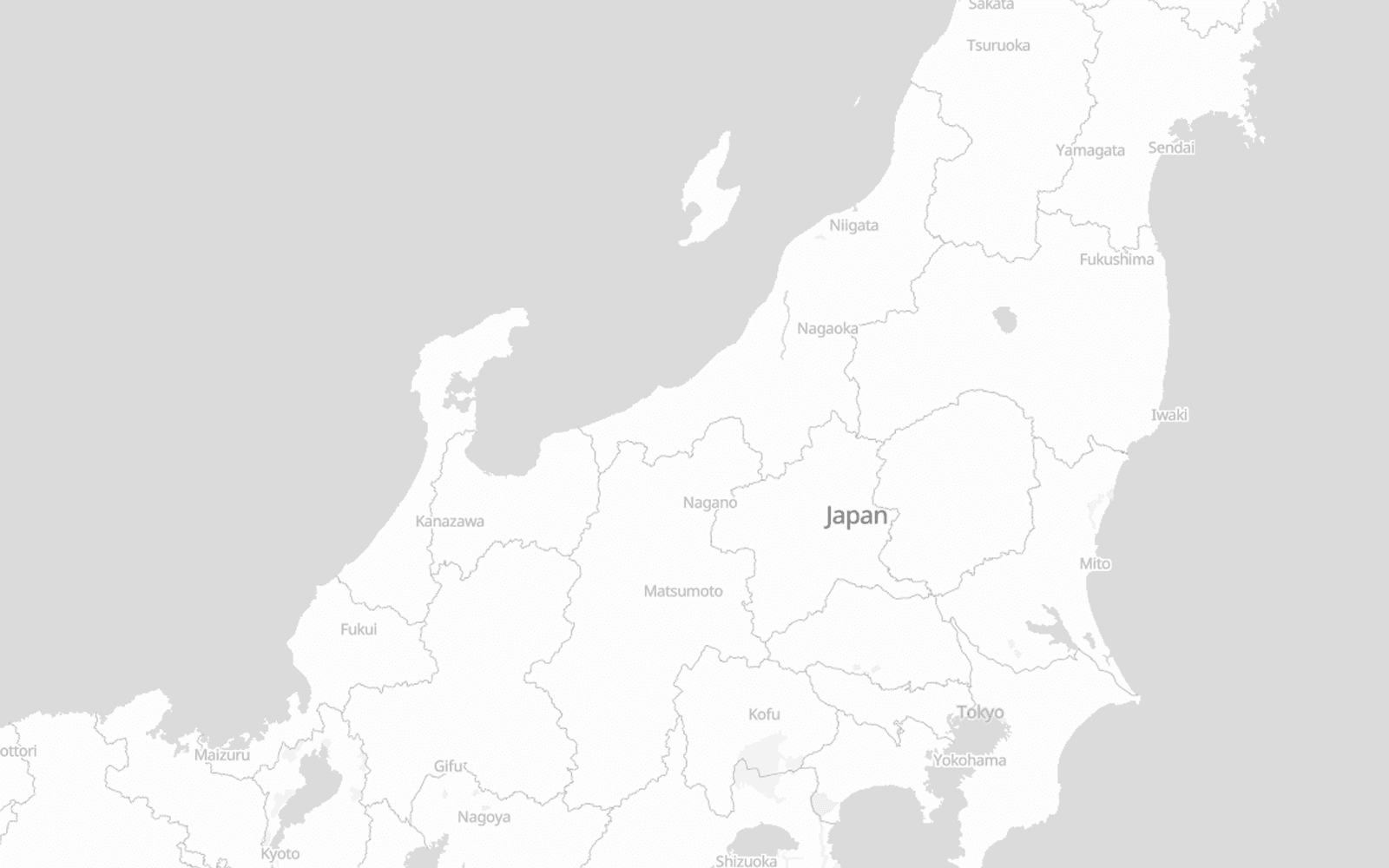
Light Style
The Light style is designed to minimizes distractions, making it perfect for data visualizations. By using a minimal color palette and reduced visual noise, it allows your custom data layers, markers, and heatmaps to stand out with maximum clarity.
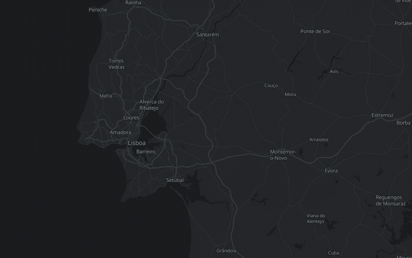
Dark Style
The Dark style offers a sophisticated, high-contrast look, enhancing user experience in low-light environments or complementing dark-themed applications. It's ideal for entertainment and specialized interfaces.
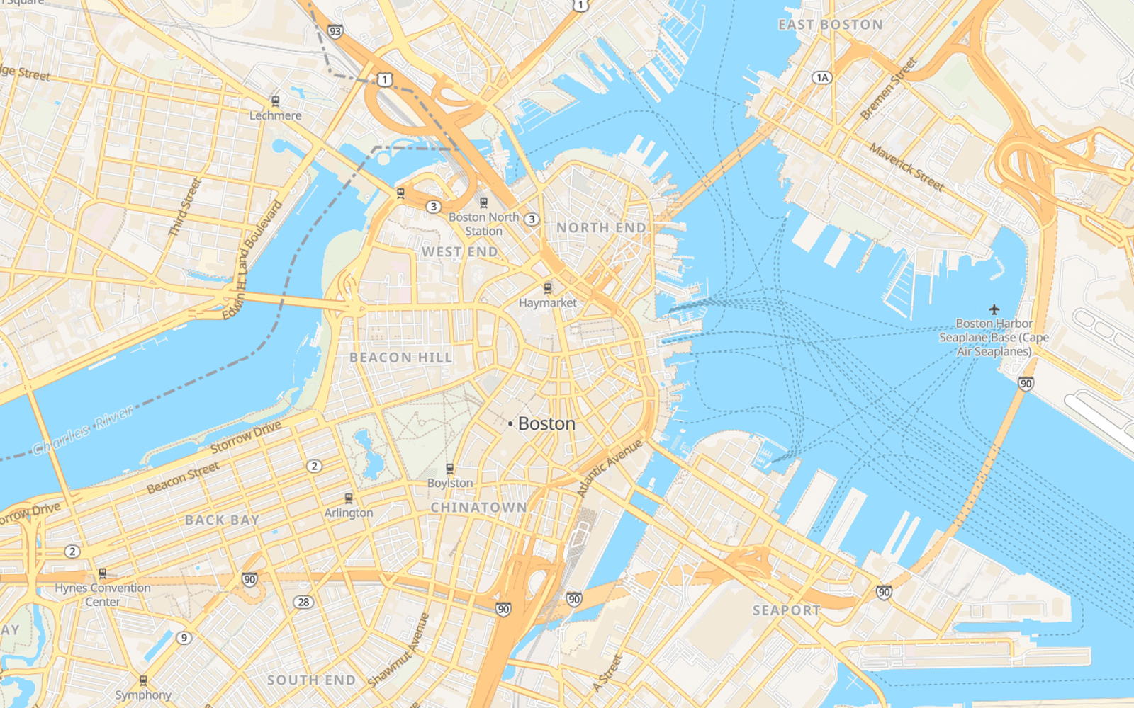
Street Style
This style provides clear road networks, points of interest, transit routes and rich land-use data, perfect for apps requiring precise geographic context. It is the good foundation for any location-based application.
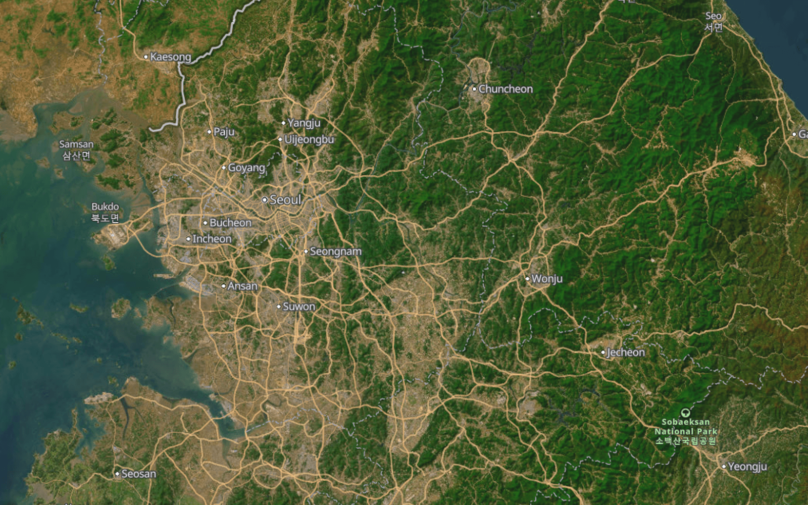
Satellite Hybrid
The Satellite style combines the power of real-world satellite imagery from AWS with our precision vector street overlays. Perfect for real estate, environmental monitoring, and logistics, offering a comprehensive view of world geography.
FAQ
Are Mappinest basemaps free to use?
Yes. The free plan includes up to 100,000 map style loads per month with no credit card required. You can start using the basemaps immediately after signing up. See pricing for full plan details.
What maps styles are available on this page?
This page focuses on ready-to-use basemap products: vector and raster map styles you can preview, copy, and use inside your existing map stack. You can also preview them directly in console styles.
Do these map styles work with Mapbox and MapLibre?
Yes. The styles are designed to work with Mapbox, MapLibre, OpenLayers, Leaflet, and similar map clients that you can integrate via StyleJSON endpoints.
Can I use both vector and raster basemaps?
Yes. The maps page covers both vector and raster delivery so you can choose the format that fits your renderer, performance needs, or legacy support requirements.
Do I get direct style and tile URLs?
Yes. The goal is fast integration: preview a style, copy the endpoint you need, and drop it into your application with minimal setup.
Can I customize the default styles later?
Do I need my own hosted tiles to use these basemaps?
No. You do not need your own hosted data to use these basemaps. You can use the styles on their own and add them directly to your own map client, without uploading or hosting a separate tileset first.
Start previewing styles
Browse available basemaps, test style URLs, and integrate them into Mapbox, MapLibre, Leaflet, OpenLayers