
Loading account...
Loading account...
Host map tiles, manage geodata, and use map styles through standard APIs that work with your existing mapping stack.
Map style spotlight
Use map styles compatible with Mapbox GL, MapLibre, Leaflet, OpenLayers, and other map clients. The Free plan includes 100,000 monthly map loads.
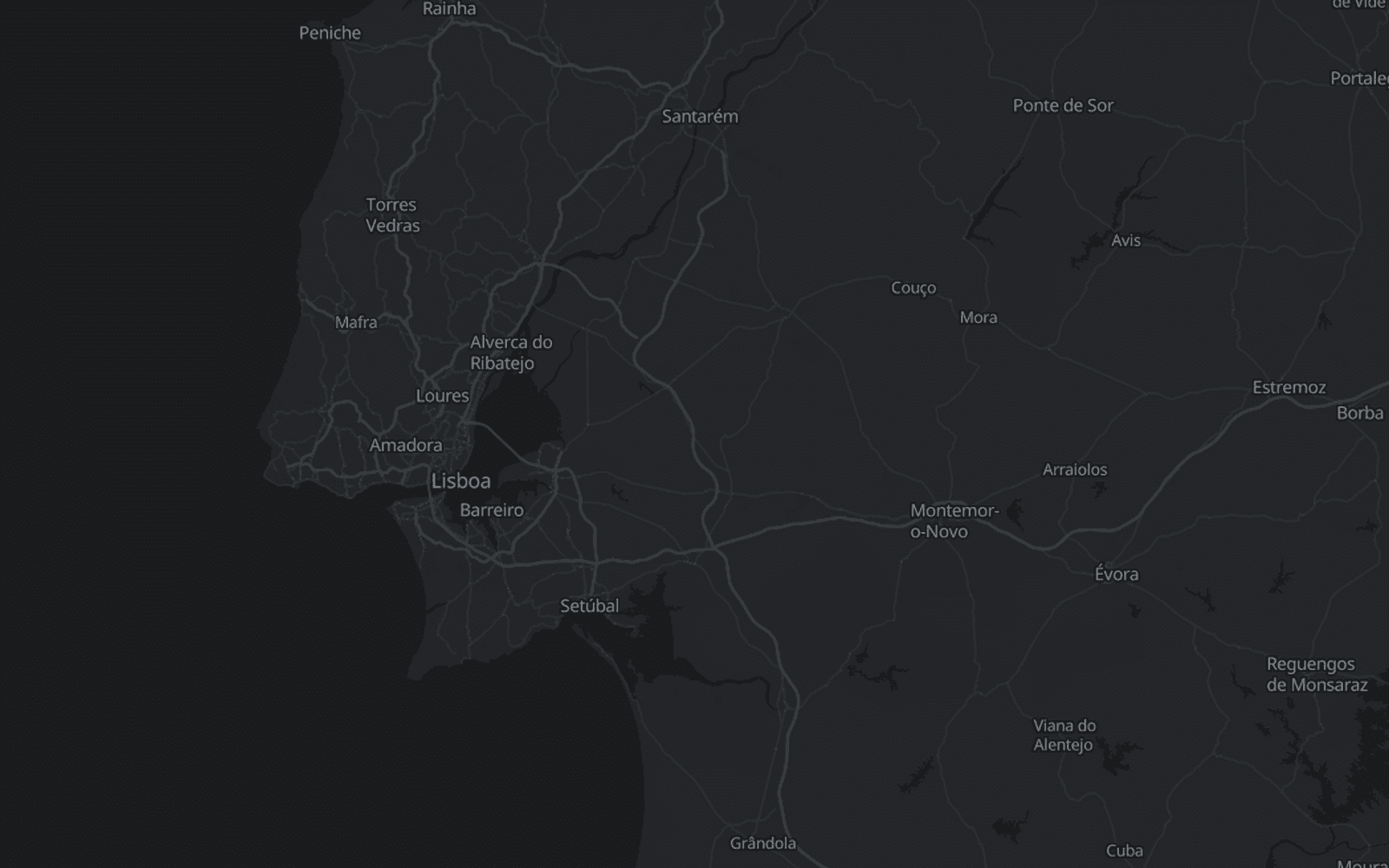
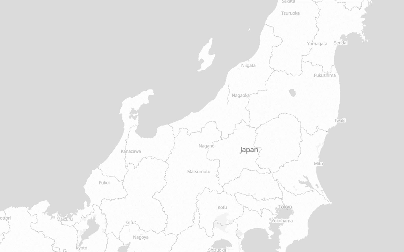
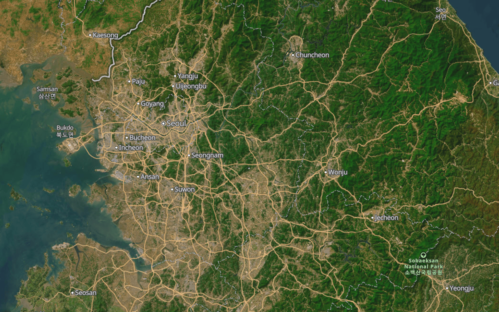
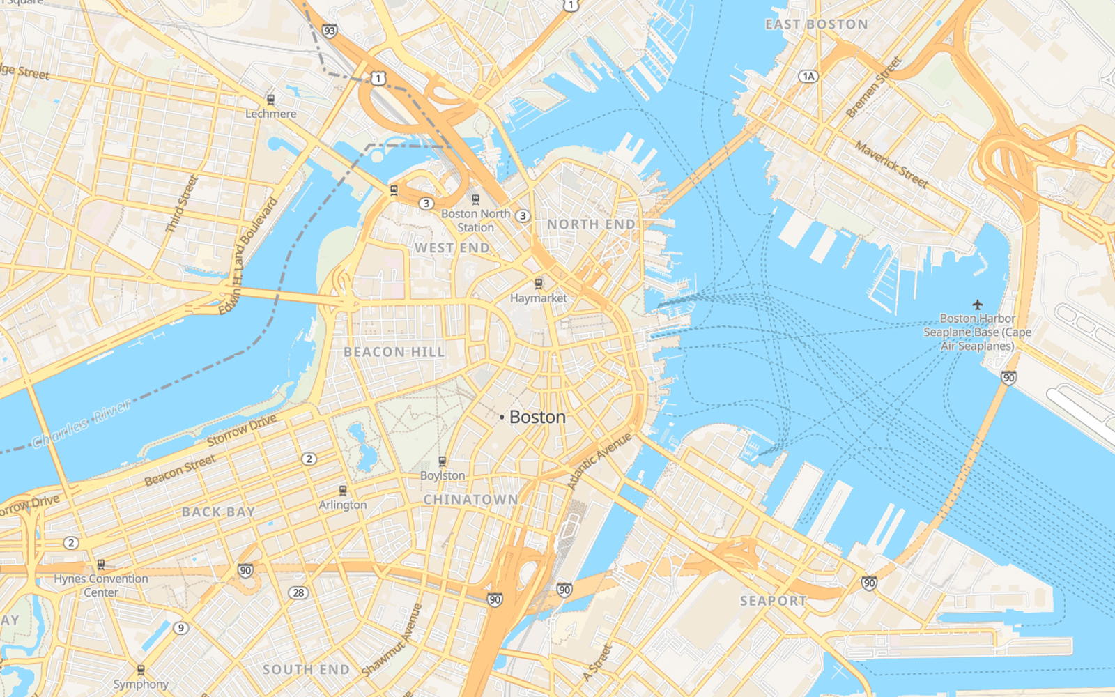
Map styles compatible with Mapbox and MapLibre. Connect through the Maps API or self-host the files on your own infrastructure.
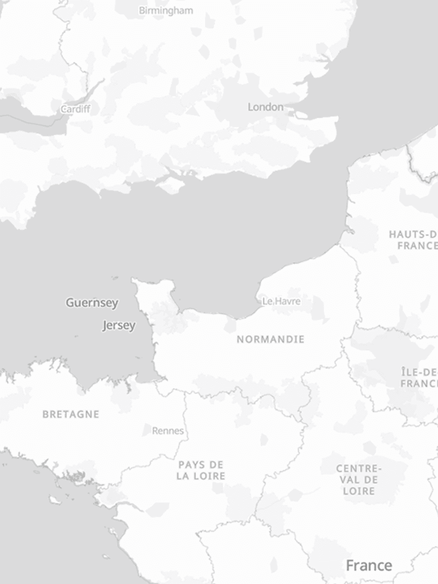

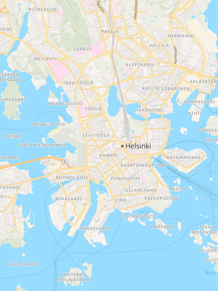
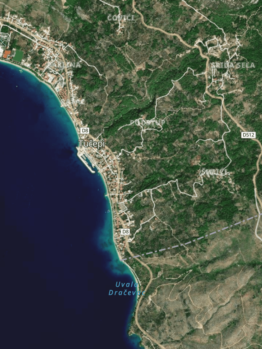
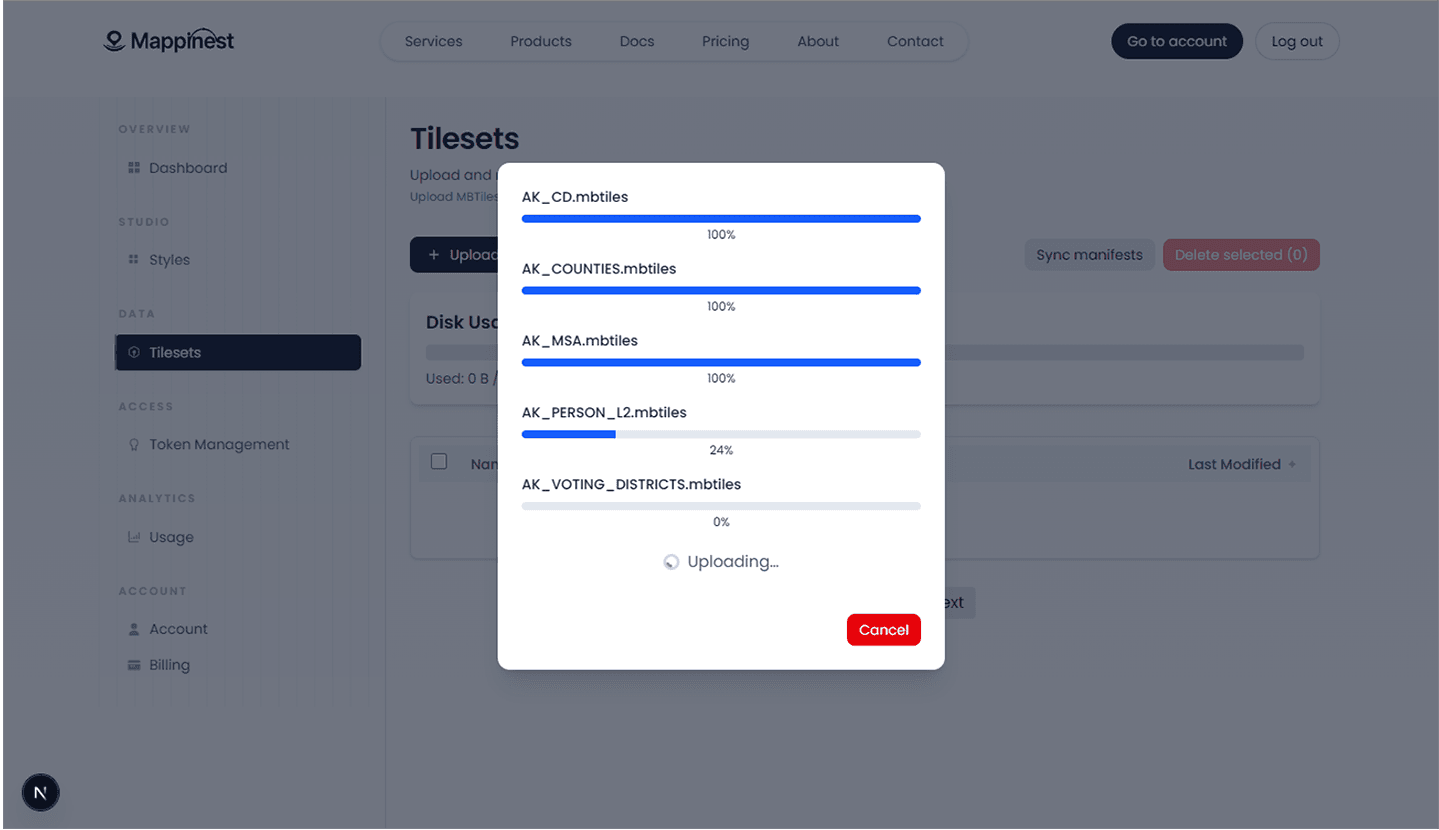
Upload MBTiles, PMTiles, and GeoJSON. Get instant endpoints for Mapbox, MapLibre, OpenLayers, Leaflet, QGIS, and more – at a fraction of the price of other providers.
Security
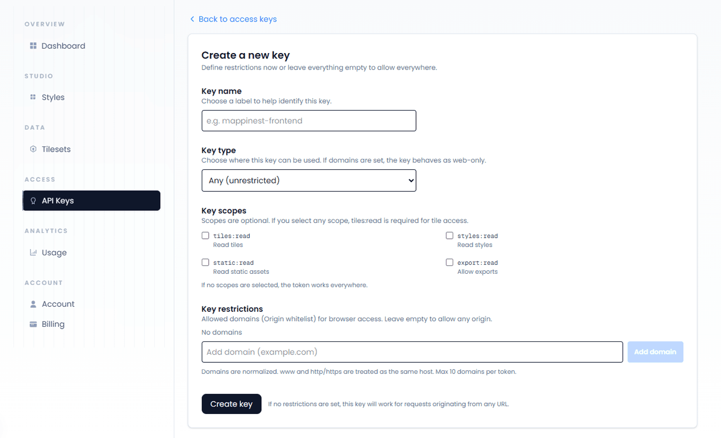
Use API key authentication, scopes, domain restrictions, and bot protection to control access to map data.
Analytics
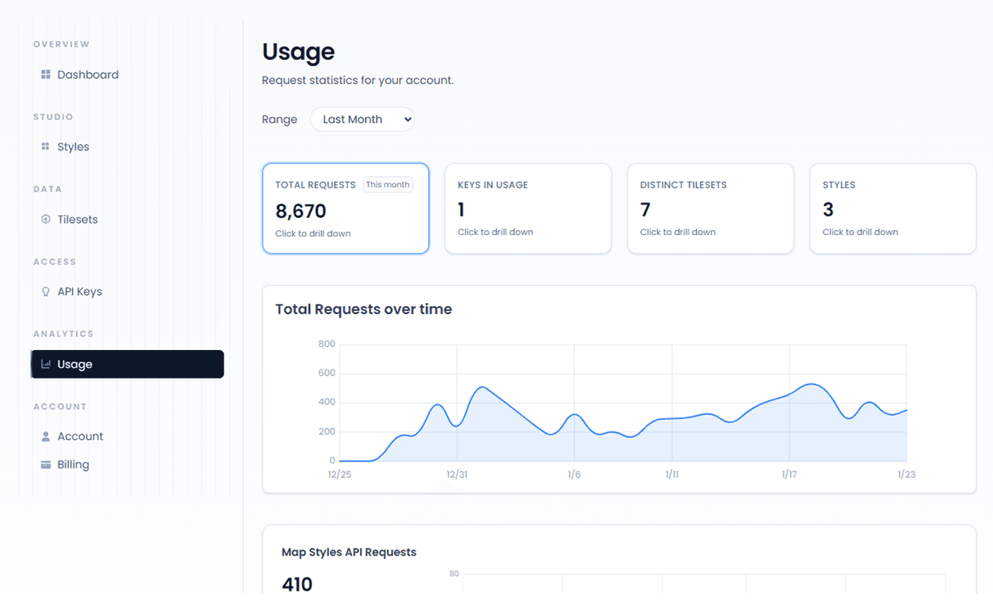
Track total requests and data usage over time, with built-in caching, transparent metrics, and zero-infra management for your map delivery layer, so you spend less time on DevOps and more time on map shipping.
See how Mappinest compares to Mapbox and MapTiler on pricing and features
| Feature | Our API | Mapbox | MapTiler |
|---|---|---|---|
| Tiles API (API Requests) | First 300k Free Thereafter: $0.15/1k | First 200k Free Thereafter: $0.25/1k | First 100k Free Thereafter: $0.15/1k |
| Maps API (Map Loads) | First 100k Free Thereafter: $1.20/1k | First 50k Free Thereafter: $5/1k | First 5k sessions Free Thereafter: $2.50/1k sessions |
| Data Hosting (Storage) | 5 GB Free Thereafter: Flex includes 20 GB ($18/mo) | Billed per tileset hosting days | 5 GB Free Thereafter: Flex includes 10 GB ($30/mo) |
| Hosted Files (Storage) | 10 files Free Thereafter: Up to 100 on Flex ($18/mo) | Billed per processing | 1 hosted file Free Thereafter: Unlimited on Flex ($30/mo) |







Mappinest is a developer-first cloud platform for high-performance map hosting. We provide optimized infrastructure and APIs to host MBTiles and PMTiles tilesets, manage datasets, and deliver tiles, dataset content, and map styles reliably at scale.
No. Mappinest hosts tilesets, datasets, and basemaps with budget-friendly pricing. You keep using Mapbox GL JS, MapLibre GL JS, Leaflet, or OpenLayers as the renderer.
You can consume map styles, tiles, and GeoJSON directly over plain URLs with an API key, no mandatory SDKs and no vendor lock-in. Use TileJSON for uploaded tilesets or StyleJSON for map styles. Use the Dataset API when you need to retrieve data as GeoJSON. No Mappinest SDK is required.
Every endpoint is a plain HTTPS URL with an API key, so it works directly in MapLibre GL JS, Mapbox GL JS, Leaflet, OpenLayers and GIS tools such as QGIS. No SDK is required.
/v1/maps/streets/style.json?key=YOUR_KEY./v1/tiles/{tilesetId}/{z}/{x}/{y}.pbf, with a TileJSON URL at /v1/tiles/{tilesetId}.json./v1/datasets/{datasetId}.geojson and keeps the dataset editable.For user-uploaded data, the platform currently supports MBTiles and PMTiles in both vector and raster formats, as well as GeoJSON and JSON files imported as editable datasets. See the upload workflow for accepted files and current limits. Shapefile and GeoTIFF ingestion is planned next, including server-side tiling and optimization.
Yes. Your data stays fully portable and remains in the same formats you uploaded, with no proprietary wrappers or transformations. You can take it and host it anywhere else at any time. Any map styles can be exported as JSON in the standard Open Map Tiles (OMT) schema. You can move and self-host your exported data and styles at any point.
Developers, startups, and GIS teams who want to move fast on application development and map design, without spending time on tile infrastructure, server tuning, CDN configuration and other caching layers. You get predictable pricing and control, while avoiding the complexity of self-hosting geospatial data, and configuring styles, fonts, or glyphs for custom map styles/basemaps you can self host.