Map styles that work with your existing stack
Instantly preview map styles compatible with Mapbox, MapLibre, OpenLayers, and Leaflet. Use ready-made basemaps by referencing the tile or style URL directly in your existing map setup.
Vector & Raster
Style JSON + automatic raster fallback for older libraries.
Copy & Paste
One-click copy for URLs and code snippets.
Token Secured
All style endpoints are key-based for access control.
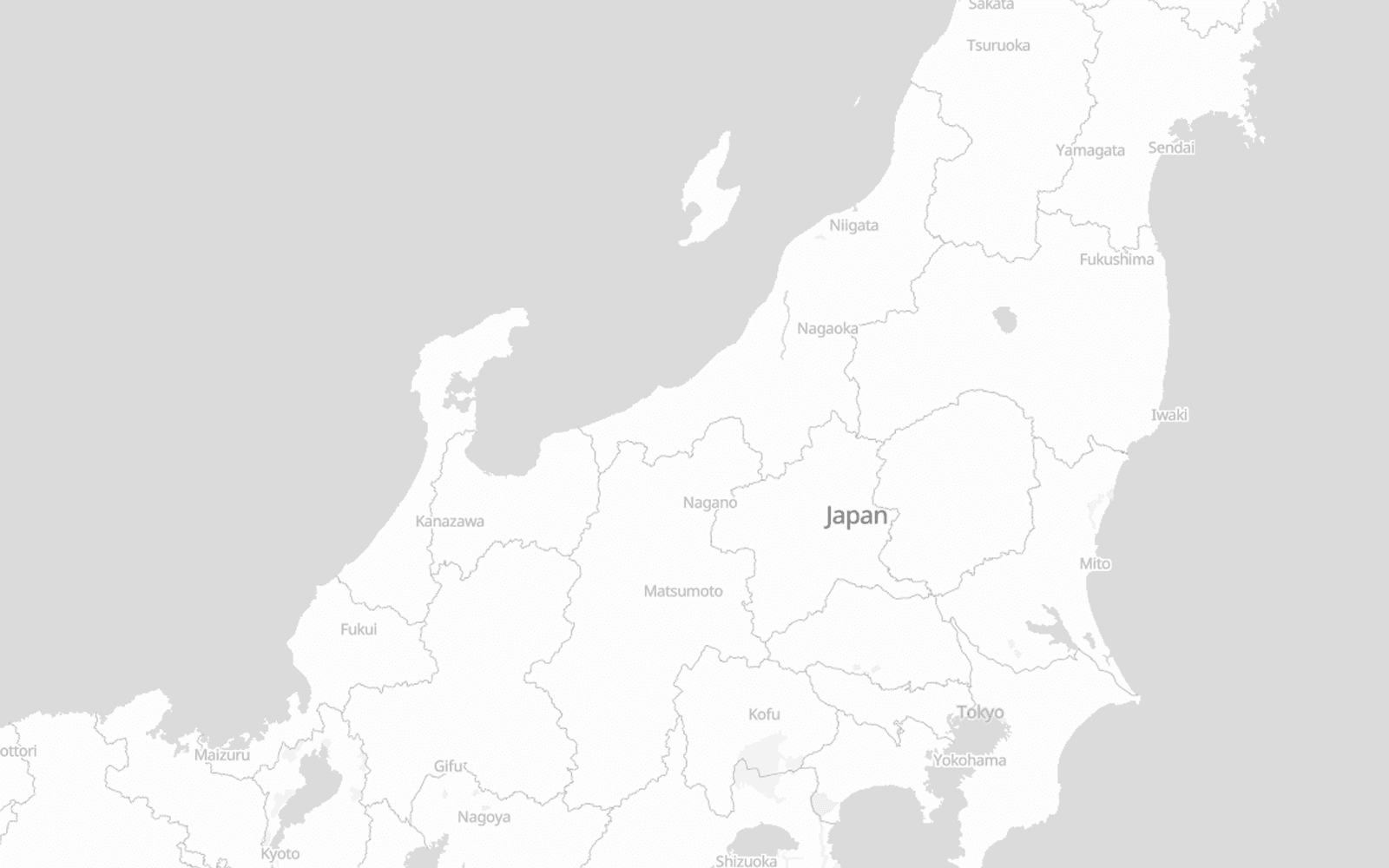
Light Style
The Light style is designed to minimizes distractions, making it perfect for data visualizations. By using a minimal color palette and reduced visual noise, it allows your custom data layers, markers, and heatmaps to stand out with maximum clarity.
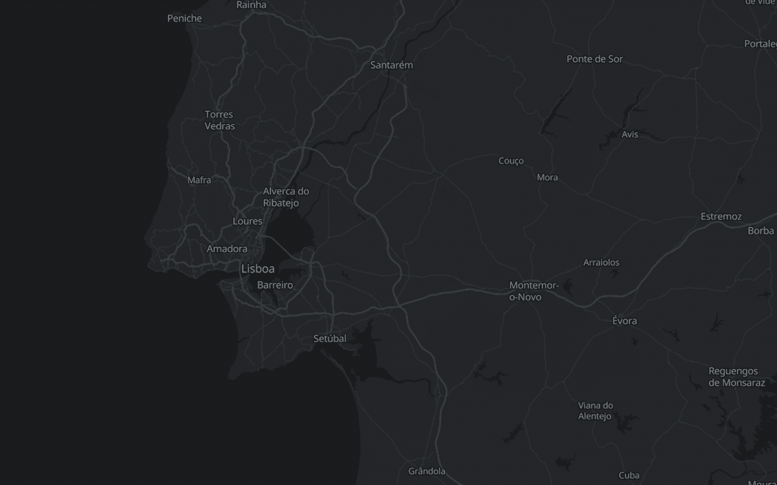
Dark Style
The Dark style offers a sophisticated, high-contrast look, enhancing user experience in low-light environments or complementing dark-themed applications. It's ideal for entertainment and specialized interfaces.
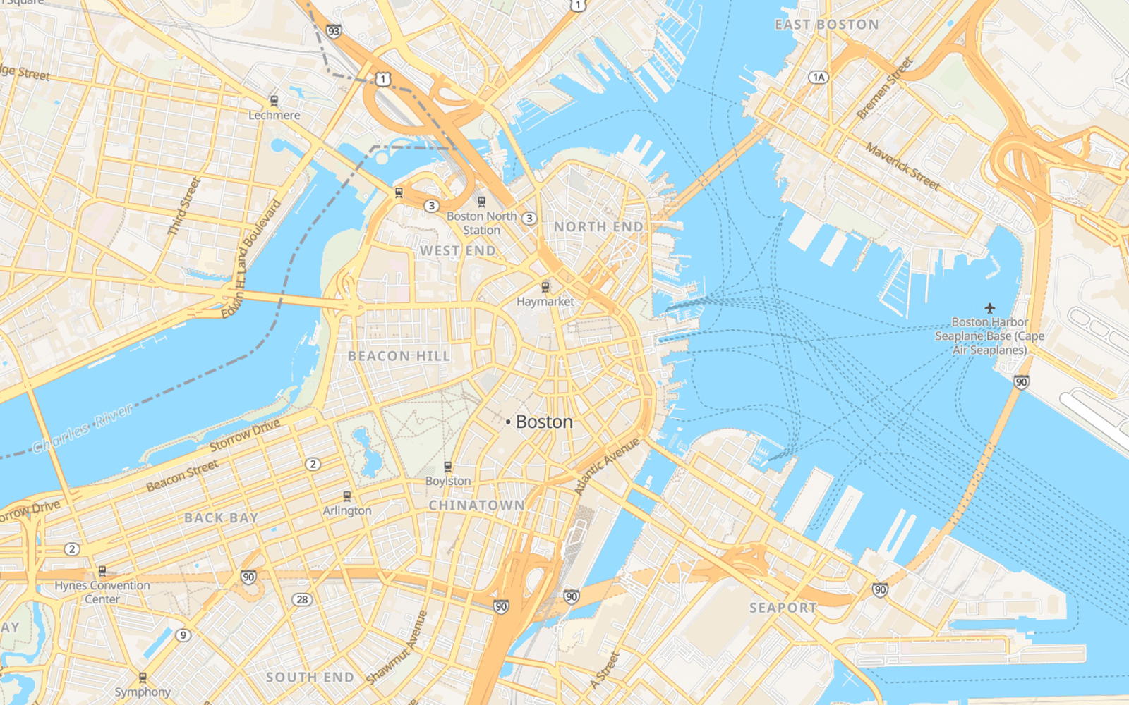
Street Style
This style provides clear road networks, points of interest, transit routes and rich land-use data, perfect for apps requiring precise geographic context. It is the good foundation for any location-based application.
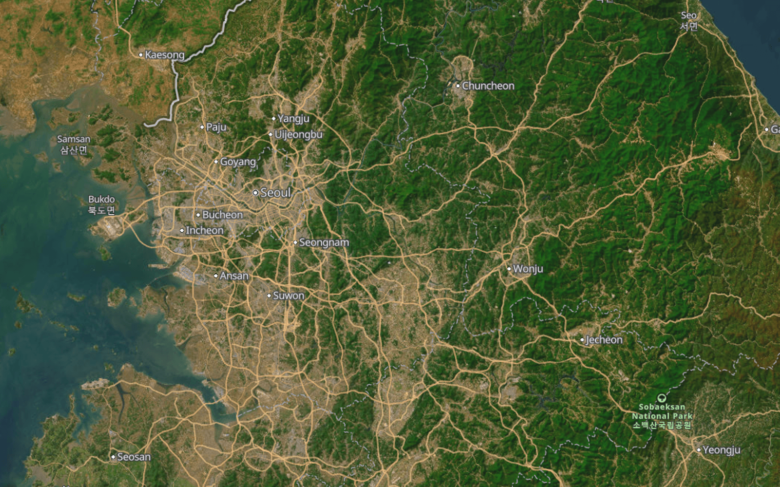
Satellite Hybrid
The Satellite style combines the power of real-world satellite imagery from AWS with our precision vector street overlays. Perfect for real estate, environmental monitoring, and logistics, offering a comprehensive view of world geography.
Start previewing styles
Register, upload a dataset or just test existing basemaps, and integrate them into your app within minutes.